
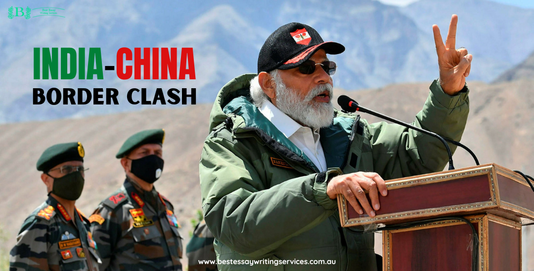
India-China Border Clash: Timeline
India and china do not share healthy boundaries in literal sense.
These Asian superpowers have been fighting over land since the early 190s. The land dispute has been genuine and led to several battles between the two. On the one hand, India, the largest democracy in the world, has a track record of not invading any other civilization in its history. On the other hand, China, the most populous nation, has been infamous for capturing and ruling other nations. Tibet also referred to as the “roof of the world, " is a prime example under Chinese reign. Irrespective of invading other nations or not, both nations have been victims of encroachment.
China has resolved its territorial disputes with most of its neighbours, such as Vietnam and Russia, but India remains unresolved.
Be it the Sino-China Border dispute or Galwan Valley Dispute, these two nations have had their fair share of clashes, and in a few days, the tension between the two is seen escalating.
(BEWS offer online homework help and other services for our students and tutors to choose from based on their needs and expertise)
What is the source of tension:
The 3,440 Km long border India and China share is the reason for the rising tension between the two superpowers. Himalayan region where this disputed border falls is covered with dense snow, Rocky Mountains and frozen lakes. The high altitude of the area and minus temperatures also poses difficulty in navigating across the border. Moreover, the national boundary is unstable due to frequent avalanches and snowstorms. The border here is called LOC (Line Of Actual Control).
Another prominent reason for the rising dispute in the past few years is the construction of a National highway near the border area.
Both nations have been racing against each other to construct the road. Finally, in 2020, The 255km (140-mile) Darbuk-Shyok-Daulat Beg Oldi (DSDBO) road was finished after nearly two decades of work.
The road built in the Ladakh region is of great importance to the Indian Army as it directly connects the central army base via road.
China has been far ahead of India since it began the construction of roads in the early 1950s and, as a result, has a vast network of roads, rails and airbases in Tibet and Yunnan. But this is not just about the road or airbases; the dispute has been long established between the two.
Let us quickly glance at the timeline of the wrangling of India and China.
How long has the dispute been carried on?
1947: Independence of India from British Reign
1949-51: China Invades Tibet
1954: India and china sign five principles of the Co-existence treaty (Panchsheel Agreement)
March 1955: India raises objection at Chinese Map that claimed Northern Fortier (now Arunachal Pradesh) as a clear violation of the Panchsheel Treaty
April 1955: Nations sign treaty with India handing over all communications of Tibet to China
1959: Tibet revolution against Chinese reign at Lhasa, Tibet. India provides asylum to the “Dalai Lama.”
1959: China claims 50,000 square miles of land in Sikkim (India) and Bhutan and refuses to accept the 1842 Peace Treaty between British India and England.
1960: Zhou Enlai proposed the claims on Arunachal Pradesh and offered Aksai Chin to India. India refused.
1962: Indo-China war, China emerged victorious
1965: Indian troops crossed the Indo-China boundary in Sikkim, and China intruded into North Sikkim
1967: War between India and China at Cho La and Nathu La at the India-China border in Sikkim, India triumphed.
1974: India conducts first Nuclear test, China at unease
1996: India and china signs peace treaty
2000: Karmapa Lama flees China and India gives refugee; China warns of violating five principles of peaceful coexistence.
2006: India and china reopen the Nathu La pass since the war in 1962
2013: China encroached in East Ladakh
2014: Xi Zing ping (President of China) invites Narender Modi (Indian PM) to attend APEC in China; Modi refuses and visits Myanmar, Australia and Fiji instead.
2017: nations clash after China extends its border road via disputed Plateau.
2019: India released an “updated map” of the country and included a few disputed Nepalese territories.
2020: Nepal and china boiled over the issue, and Nepal released its “new Map”, visibly marking these territories in Nepal.
2020: India and china skirmish at Galwan valley over a border dispute and construction of infrastructure along the border by India. 20 Indian and 4 Chinese troops lost their lives.
2020: Following the clash, India banned 224 Chinese Apps after claiming they were hampering the integrity of the national security
2021: India captured a Chinese soldier in Ladakh and released him after the following day. Later in the same year, a minor clash in Galwan Valley was reported by “The Hindu”.
2022 Feb: India further bans 53 app duplicates of previously banned apps.
2022 Dec- present: Clash at Tawang Section in Arunachal Pradesh.
Disputes between Delhi and Beijing (The capitals of India and China) boiled up soon after India emerged as an Independent Nation. Even after signing five principles of Co-existence in 1954, the two could not agree on the Aksai Chin area in Ladakh, Kashmir and the Tawang area in Arunachal Pradesh. However, after the uprising of Tibet in 1959, after a decade of invasion by Chinese troops, India’s Asylum to “Dalai Lama” did not go well with the Chinese Communist government. They saw it as a threat, and the Former President of the people’s republic of China claimed that Indians fumed uprisings.
Following the incident, in 1960, China’s premier Zhou Enlai proposed to take Arunachal Pradesh and offered Aksai Chin to India. However, then Prime Minister Pandit Jawahar Lal Nehru refused the offer.
However, the miscalculation of Indian Leaders about China’s ability to attack left 3000 of its soldiers dead and a thousand more injured after the debacle.
There was deafening silence on 21st November 1962 when China declared a ceasefire and reached its claimed locations. India faced humiliating defeat, and the Sino-Indian Border dispute is ongoing.
After the debacle, India and China were at peace by the end of the 20th Century. Even so, both nations signed
However, recent tensions have been escalating since a significant clash in the year 2020, when the two nations came face to face amid the development of a newly constructed road along LOC in India. The clash took the lives of more than 20 Indian soldiers and 4 Chinese troops. What added to the fuel was India releasing an Updated map of the nation with Jammu, and Kashmir split up as Kashmir and Ladakh. However, the pain area in the map was not splitting up J&K, but including a few “open boundary areas between India and Nepal on Indian Map”.
India and Nepal share an international boundary of 1880 Km long, across which three regions, Lipulekh pass, Kalapani and Limpiyadhura, are still a matter of dispute. When it released its new map in November 2019, India considered some of this disputed area under its territory. This is what fumed the rage further among the Nepalese and Chinese Governments.
The recent skirmish at Tawang valley has emerged over the disputed border in Arunachal Pradesh, the eastern tip of India. The map compiled by BBC depicts the disputed regions between India and China and India and Pakistan.
(Best Essay Writing Service, an expert writing service, would be happy to craft an ideal descriptive essay example for you in no time!)
Copyright © 2026 getessayservice.com